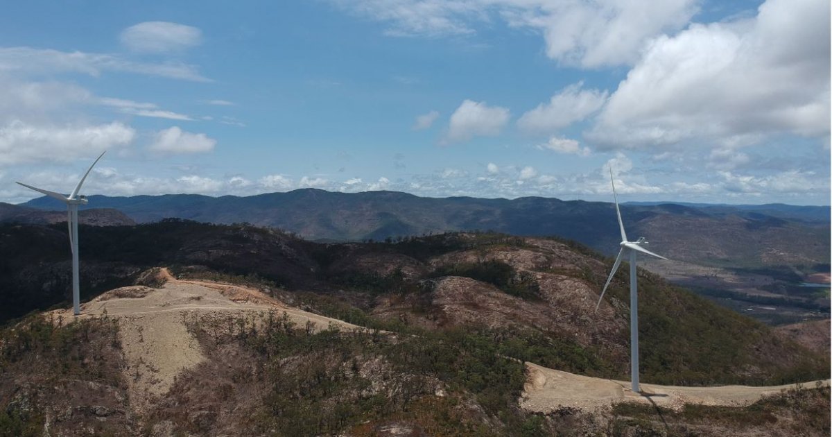
Mt Emerald Wind Farm is a $400M wind farm project located on 5930 acres of private land on a plateau in North Queensland. The local landmark, Mt Emerald (elevation 3,681ft) is about 1.2 miles from the southern boundary of the site. The plateau has an elevation of 2,952 feet above sea level and is approximately 980 feet above the surrounding plains providing challenging topography for construction.
53 wind turbines are being built which will generate up to 180.5MW of power from this location. This will supply approximately one third of the power needs for Far North Queensland.

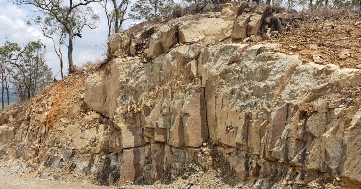
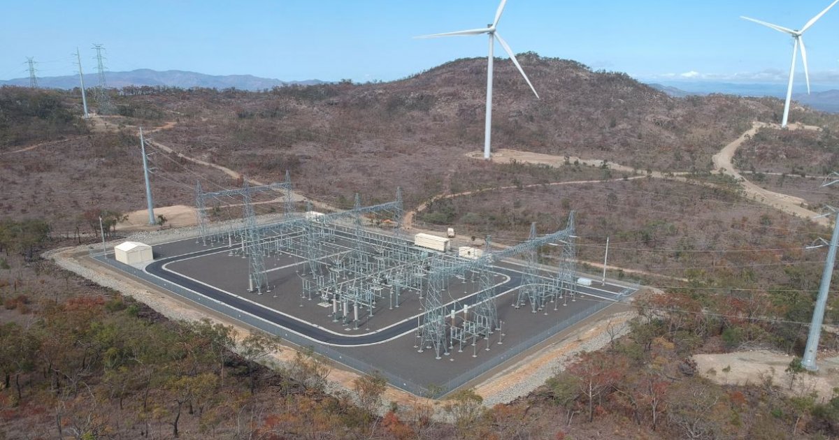
ENGEO has undertaken a geotechnical assessment of the long-term stability of all cuts and fill slopes created during the construction of 53 foundation platforms, two new electric substations and nearly 40km of new access roads. Due to the strength of the rock, the majority of the cuts (up to 16m deep) were formed by blasting. The blasted material was crushed onsite and used as engineered fill to create the required fill slopes to support the platforms and access roads.

The project included onsite geotechnical risk assessment. Due to the scale of the project, the difficult terrain, ENGEO used of UAV surveying to access restricted areas and to gain a bigger picture of the sites complex geomorphology. We had a very limited time frame to undertake our work and provide the report, as the deadline for the completion and hand over of the windfarm to the client was only a couple of months away. In addition, the site was formerly used as army training grounds for mortar shooting and unexploded ordnance (UXO) clearance was required to access areas of the site that had not been explored before.

The results of this assessment were presented in a report containing a comprehensive qualitative risk assessment and recommendations for suitable risk mitigation measures. ENGEO recommended pragmatic and time efficient remedial measures that would allow for their full implementation minimising any delay of the handover of the windfarm to the client. We achieved this by using UVA surveying which allowed us to assess the site in fraction of time of a conventional visual assessment. This technology also allowed us to get close and assess areas and features that otherwise would be out of question due to the high risk level.
ENGEO worked closely with the civil engineer representing the main contractor to address concerns and provided best remedial solutions that were able to be implemented safely and efficiently.